
Autodesk InfraWorks
Plan, analyze, and communicate infrastructure concepts within their real-world geographic context.
What Is Autodesk InfraWorks?
Conceptual design software that combines terrain, GIS, survey, and design data to create information-rich 3D context models for roads, bridges, railways, sites, drainage, and water infrastructure. Teams can evaluate alternatives earlier, understand development impacts, and communicate infrastructure concepts clearly to management, government stakeholders, investors, and the public.
Ideal for:
- Infrastructure owners & developers
- Government & public agencies
- Urban & regional planners
- Civil engineering consultants
InfraWorks Key Capabilities
Context Modeling & GIS Integration
Combine GIS, terrain, survey, aerial imagery, and existing infrastructure to create a realistic model of the built and natural environment.
Road, Highway & Site Concepts
Develop preliminary road alignments, intersections, grading, parcels, site layouts, and surrounding infrastructure within one contextual model.
Bridge, Rail & Civil Structures
Explore conceptual bridge and rail designs, including decks, piers, girders, tracks, switches, corridors, and supporting infrastructure.
Water & Drainage Planning
Conceptualize watersheds, culverts, drainage networks, and flood scenarios to understand water-related impacts earlier in the process.
Traffic & Mobility Analysis
Analyze traffic flow, intersections, mobility patterns, and line-of-sight conditions to support infrastructure planning and option evaluation.
Visualization & Stakeholder Communication
Create realistic 3D presentations, animations, and project scenarios that help stakeholders understand proposals before detailed design begins.
Why Choose InfraWorks?
Design in Real-World Context
Understand how proposed infrastructure interacts with existing terrain, buildings, roads, utilities, and environmental conditions.
Compare Alternatives Earlier
Develop and evaluate multiple design scenarios before committing resources to detailed engineering.
Improve Stakeholder Understanding
Present infrastructure concepts in an engaging 3D environment easier to understand than conventional 2D drawings.
Connect Concept & Detailed Design
Exchange infrastructure information with Civil 3D, connecting planning with reality capture, detailed engineering, and construction documentation.
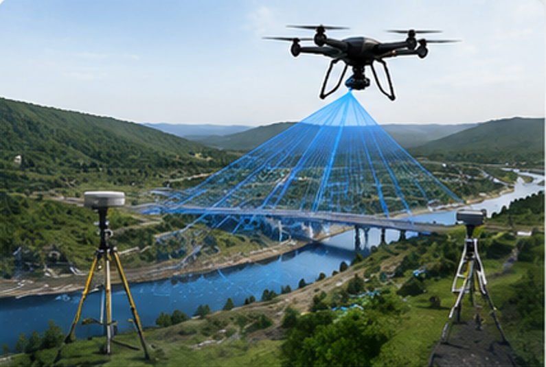
Gather data from multiple sources with high accuracy.
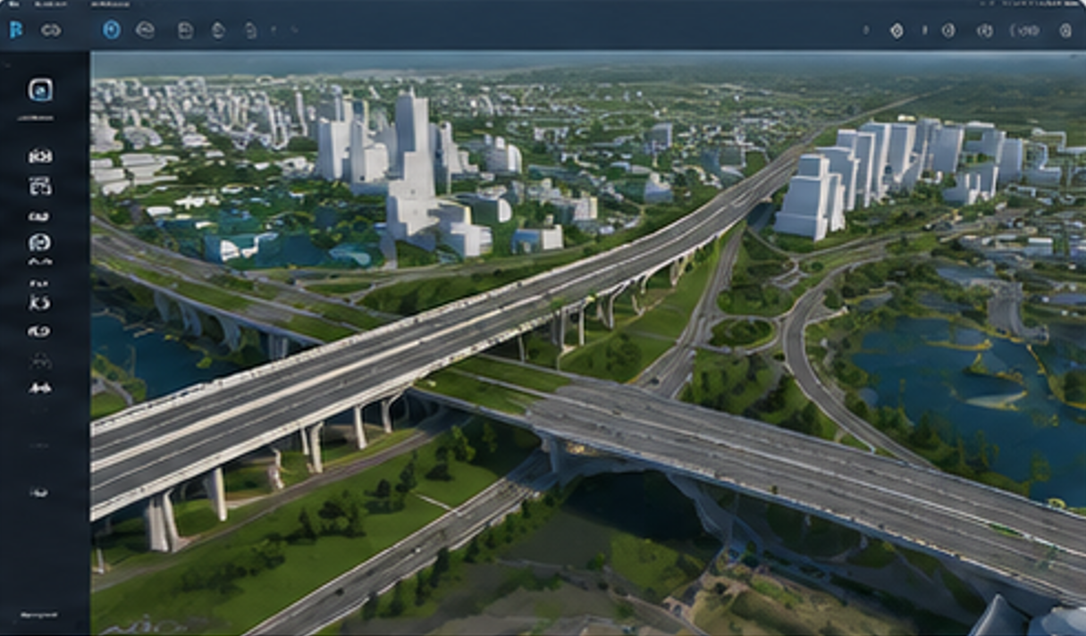
Build infrastructure concepts in a connected, informative 3D context.
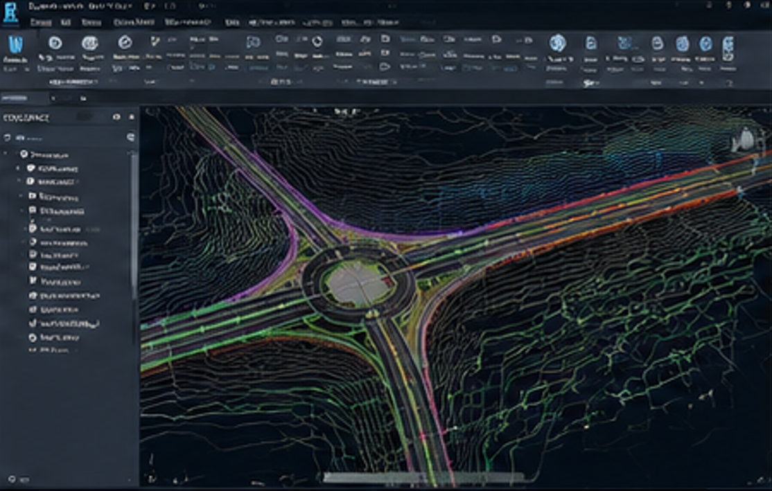
Develop detailed design with precision and technical documentation.
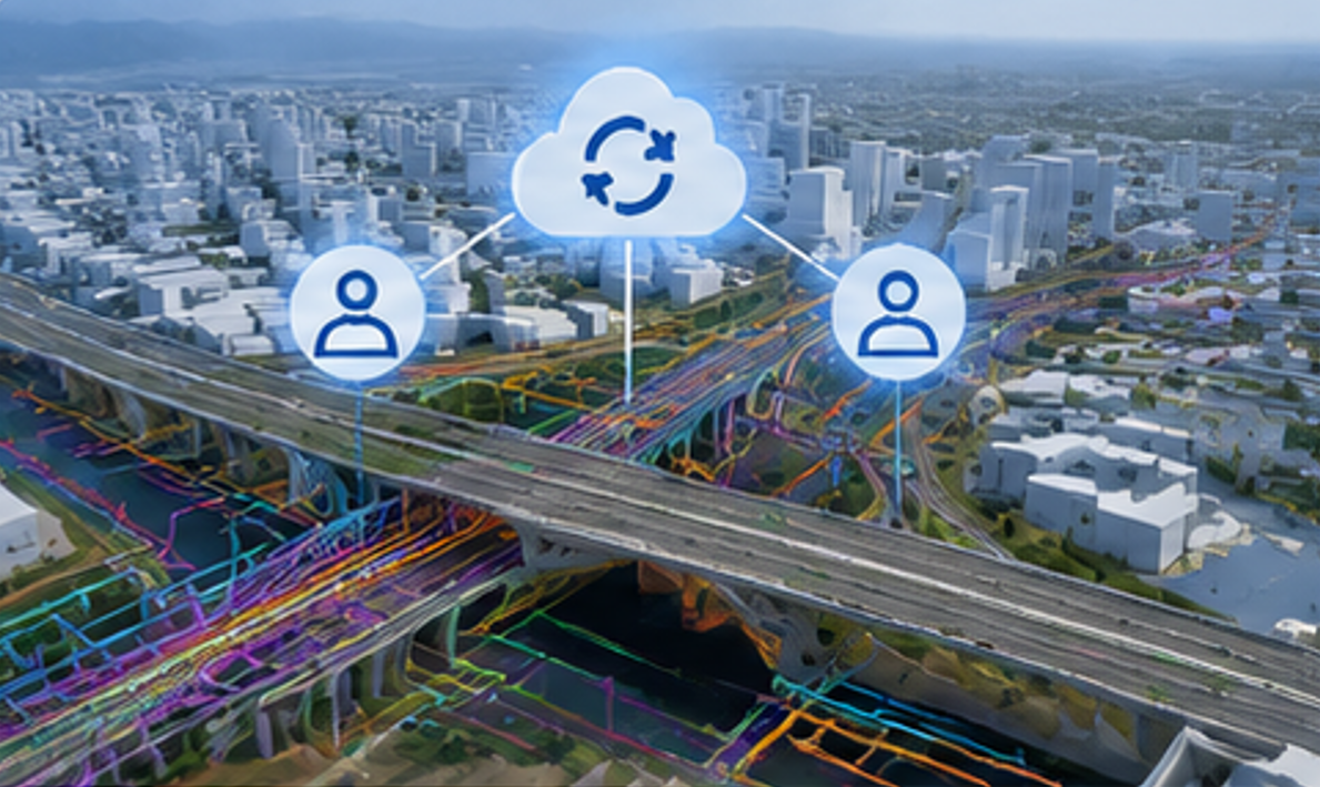
Coordinate across disciplines and manage project information on one integrated platform.
Get the best InfraWorks solution for your project with BIMAGE Consulting Indonesia.
Contact Us →