Customization
Customization — GIS to BIM Integration
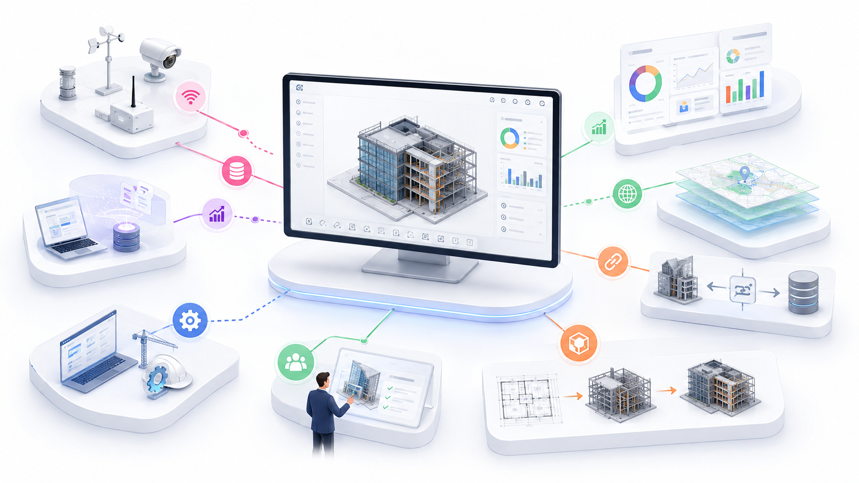
Integrate geospatial data with BIM models for location-based connectivity.
About This Service
Integrate geospatial data with BIM models for location-based connectivity.
Why Choose This Service?
- Visualize your assets and infrastructure within their real geographic and environmental context.
- Make faster, better-informed planning decisions with integrated spatial and BIM data.
- Connect with government data and zoning regulations directly within your project environment.
- Ideal for multi-site portfolios, infrastructure networks, and government-facing project presentations.