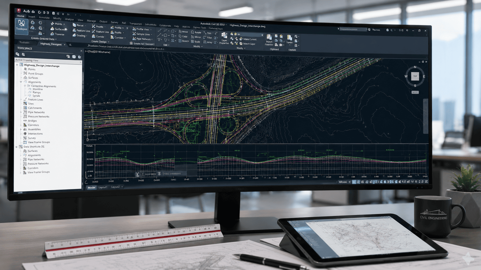
What Is Autodesk Civil 3D?
Autodesk Civil 3D is object-based civil infrastructure design and documentation software. Workflows can include survey surfaces, alignments, profiles, corridors, grading, pipe networks, quantities, and drawing production, with design changes managed across objects and deliverables.
Civil 3D implementation is not complete when the software is installed. Teams need agreement on coordinate references, units, design criteria, object styles, labels, data shortcuts, file breakdown, reviews, and outputs for owners or contractors.
Why This Matters for Projects
On linear or multi-package projects, a single large file and unmanaged reference dependencies can slow teams down. Inconsistent styles and coordinates also make drawings across packages difficult to combine.
For the Indonesian market, implementation should account for different levels of digital capability across stakeholders, layered approval processes, tender requirements, and projects that still receive a mix of models, DWG, PDF, spreadsheets, and vendor data. The implementation objective therefore needs to become an executable workflow rather than stopping at a software demonstration.
Key Decisions and Components
Coordinates and survey basis. Survey sources, datums, coordinate systems, transformations, and tolerances should be agreed and tested. A basis error propagates into alignments, surfaces, utilities, and federated models.
Templates and styles. Object styles, label sets, code-set styles, layers, units, and plotting should live in controlled templates. Consistent output reduces manual drawing edits.
Files and data references. Breakdown should follow corridors, zones, packages, or disciplines. Data shortcuts and external references need ownership and shared locations so dependencies remain intact.
Design change. Alignment or profile changes can affect corridors, sections, quantities, and drawings. Impact review should be part of approval rather than discovered at publishing.
Implementation Workflow
The following sequence can serve as a baseline. Final details should follow contracts, phases, risk profiles, and project roles:
- Assess deliverables, survey data, coordinates, and team capability.
- Establish project templates, style libraries, file breakdown, and naming.
- Build a pilot on one alignment or package using real data references.
- Test reviews, design changes, quantities, and drawing production end to end.
- Document standards and roll out with role-based training and support.
Each stage should produce reviewable evidence such as standards, model versions, decision logs, issue registers, approved outputs, or acceptance records. Teams can then assess progress through information and decision quality rather than activity alone.
Project Use Cases
- Road, corridor, grading, and drainage design.
- Coordinating survey, utility, structural, and other package data.
- Publishing plan-profile drawings, sections, quantities, and model exchanges.
The first use case should be small enough to control but real enough to test data, roles, approvals, and outputs. An overly simple pilot often fails to reveal genuine implementation barriers.
Readiness Checklist
- Coordinates are validated against survey data and other stakeholders.
- Templates produce consistent output without repeated manual overrides.
- Data references remain stable when packages are updated.
- Design changes include impact reviews for related outputs.
If most criteria are not yet met, do not expand the scope immediately. Prioritize standards, ownership, and the pilot until teams can produce consistent outputs.
The Role of BIMAGE Indonesia
BIMAGE Indonesia can support Civil 3D assessments, templates, data-reference strategies, pilots, training, and model coordination for infrastructure projects. As an Autodesk Gold Partner + ACC Elite, BIMAGE can align desktop workflows with Autodesk Docs and the coordination environment required by project stakeholders.
The engagement can start with discovery and assessment so recommendations reflect project conditions, internal capability, and business objectives. Final scope, schedule, and deliverables are defined after requirements are verified.
Mistakes to Avoid
- Starting models before coordinates and survey bases are agreed.
- Keeping the entire design in one large file.
- Allowing each user to create independent styles and naming.
These issues are rarely software problems alone. Their root causes usually involve scope, data, responsibilities, reviews, or uncontrolled changes. Corrective action should address both the process and tool configuration.
Next Step
If your team is evaluating Autodesk Civil 3D, start by mapping the current condition, target deliverables, stakeholders, and implementation risks. BIMAGE Indonesia can support an initial consultation with us to assess readiness, select a pilot, and develop a roadmap aligned with project priorities.
Frequently Asked Questions (FAQ)
Is Civil 3D only for road design?
No. Civil 3D also supports surfaces, grading, drainage, pipe networks, site development, and other civil infrastructure deliverables.
What is the first implementation priority?
Validate coordinates and survey bases, then establish templates, file breakdown, reference strategy, and a representative pilot.
Is feature training enough?
No. Users need training in the context of company templates, data references, QA, reviews, and deliverables.
How does Civil 3D enter a BIM workflow?
Through agreed object data, coordinates, model exchanges, federated reviews, document control, and handover.
Related Articles
- BIM in Construction
- Autodesk BIM Software: The Complete Ecosystem